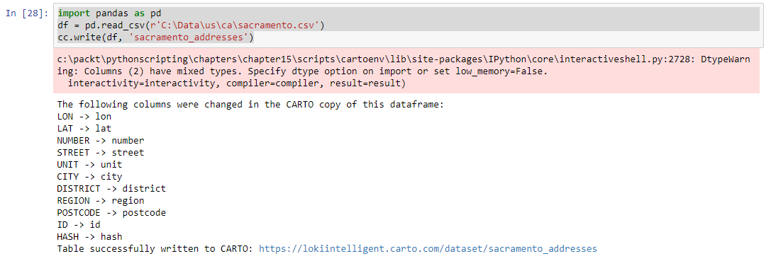
To load a dataset into the account using CARTOframes, we will use the pandas library again, which is installed with the Jupyter modules. Pandas allow us to read data from a CSV (and other file formats), loading it into a Pandas dataframe (a special data object that allows for a multitude of data-manipulation methods, as well as producing output). Then, using CartoContext, the dataframe is written (as a table) to the account:
import pandas as pd
APIKEY = "{YOUR API KEY}"
cc = cartoframes.CartoContext(base_url='https://{username}.carto.com/', api_key=APIKEY)
df = pd.read_csv(r'Path	osacramento.csv')
cc.write(df, 'sacramento_addresses')
This will write the CSV table, imported as a dataframe, into the CARTO account DATASETS section:

The imported dataset will not be a geospatial table, but is instead a table that can be queried and joined to spatial data.
